SEMINAR: MAY 11. IN BLOXHUB, COPENHAGEN
Sustainable Planning and Development with GIS and Digital Twins
Join Geoinfo, Esri and prominent Danish industry leaders from Rambøll and COWI to see how the AEC business is transformed and sustainable and cost-effective infrastructure projects are developed using digital twin and GIS/BIM integration.
About the seminar
The digital transformation of our world – from the interiors of historical buildings to entire cities, landscapes and the entire planet – is becoming more real each day. As AEC companies begin to embrace the use of geospatial technologies, and efficient digital workflows benefiting projects and multiple scales become more prevalent, there is a potential to transform our lives for the better.
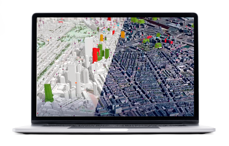
Digital twin is a virtual representation of the real-world, including objects, processes, relationships, and behaviors. Geospatial technology creates digital twins integrating many types of digital models. Digital twins allow you to design and test virtually so that you can understand and plan better before building in the physical world.
This seminar is relevant for engineers, city planners, project managers, decision makers and others working with planning, design, engineering, and construction.
Meet the GIS experts
On this seminar, we are deligthed to introduce Micah Callough, Technical Director of AEC and Environmental Consulting at Esri, as our keynote speaker at the seminar. Micah will share his extensive knowledge and insights on sustainable and interconnected infrastructure and show how cutting-edge GIS-technology and digital twins can effectively tackle the current challenges in the AEC industry.
Get inspired by Bo Grave, Group Director, Head of Digital Business Development at Rambøll, Jesper Dyhre Pedersen, Associate Technical Director, at COWI and Micah Callough, who will be having a debate on how the AEC industry is transformed and sustainable and cost-effective infrastructure projects are developed using digital twin and GIS/BIM integration. You will also see live demonstration on BIM/GIS integration to improve project delivery across design, construction, and owner/operator workflows.
Networking
After the formal seminar has finished, we will be having a sandwich and continue the sharing of ideas in a more relaxed setting and further networking.
Practical information
Date and time
May 11. at 10:00 - 12:30
Location
Bloxhub, Arena area
Bryghusgade 10
1473 København
Parking in the basement
Price
Free of charge.
More information
Please direct any questions regarding the seminar to Jan Juul Jensen on +45 61621845 or use the contact form
here.
Program
Welcome
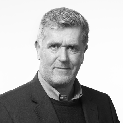
Jan Juul Jensen, Senior Partner Manager, Geoinfo
GIS serving as the foundational technology for digital twins

Micah Callough, Technical Director, AEC and Environmental Consulting, Esri →
Presentation on real examples of GIS serving as the foundational technology for digital twins of the built world.
Demonstrations


Magnus Damsbo Lund & Niklas Dyrholm Gregersen, Solution Engineers, Geoinfo
Demonstrations on integration of GIS, BIM, CAD, LiDAR, and other sources of information to improve project delivery across design, construction, and owner/operator workflows, as well as how to quickly configure targeted approaches to explore project information and solve tasks for various employees, and finally, how to create, visualize, and analyze digital twins.
Debate
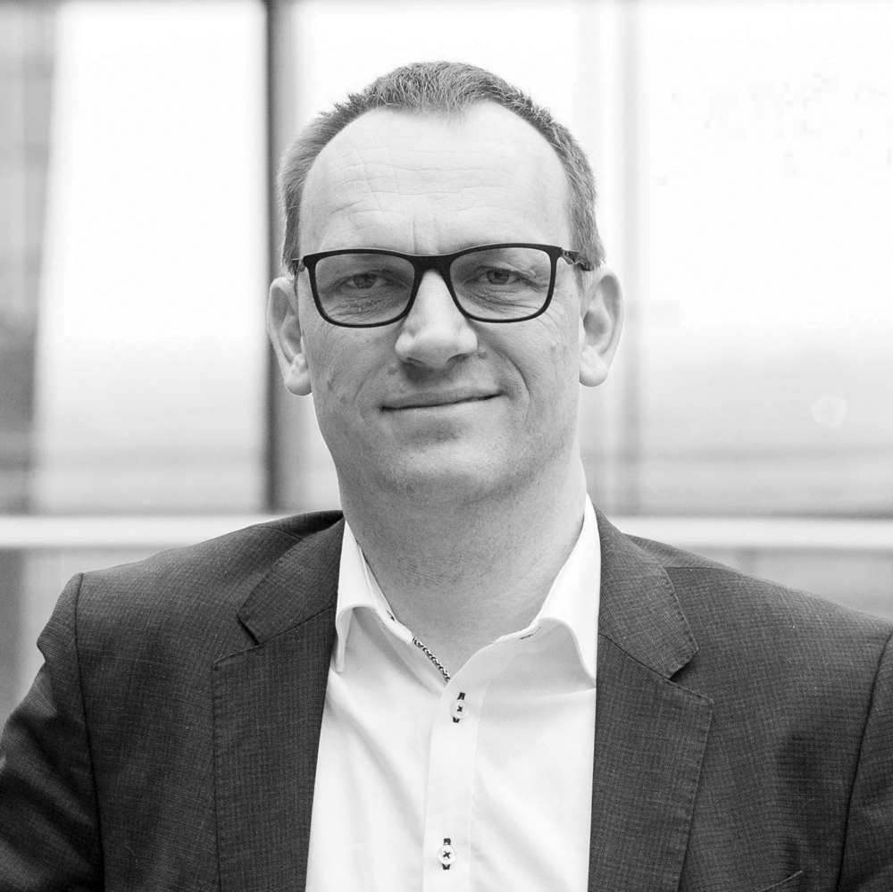

Bo Grave, Group Director, Head of Digital Business Development, Ramboll & Jesper Dyhre, Associate Technical Director, COWI,
Moderator: Micah Callough, Technical Director, AEC and Environmental Consulting, Esri
Be inspired from a debate with Bo Grave, and Jesper Dyhre Pedersen on their visions for the continued integration of geospatial, 3D and AEC technologies to improve workflows, increase ROI, build more sustainable and more.
Closing remarks
Join us for sandwich and networking with your peers
About Geoinfo and Esri

About Micah Callough
Do you have questions about the seminar?
Fill in the contact sheet below and we will contact you as soon as possible.

